map server and the new map will appear.
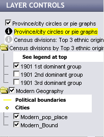
Some layers have data tables associated with them, these will have
a
in yellow to make them active, in order to access the data tables or to pop
up boxes showing their data. See the Data/Select help pages for more details.
Some layers display only at certain map scales; these will have a
of a checkbox beside them.. Zoom in or Zoom out to make these layers visible.