|
|
||||||
 |
|
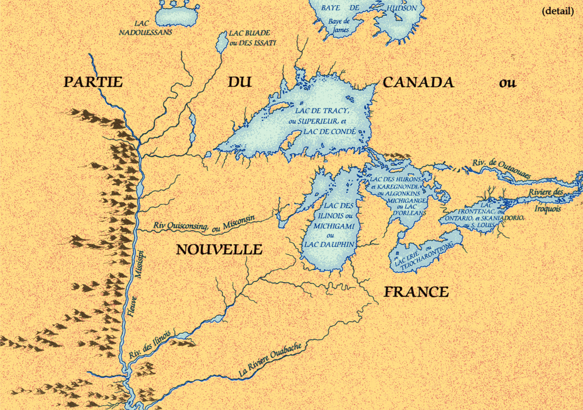
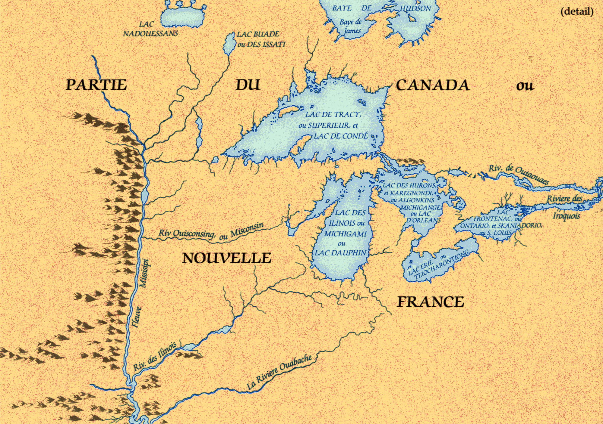
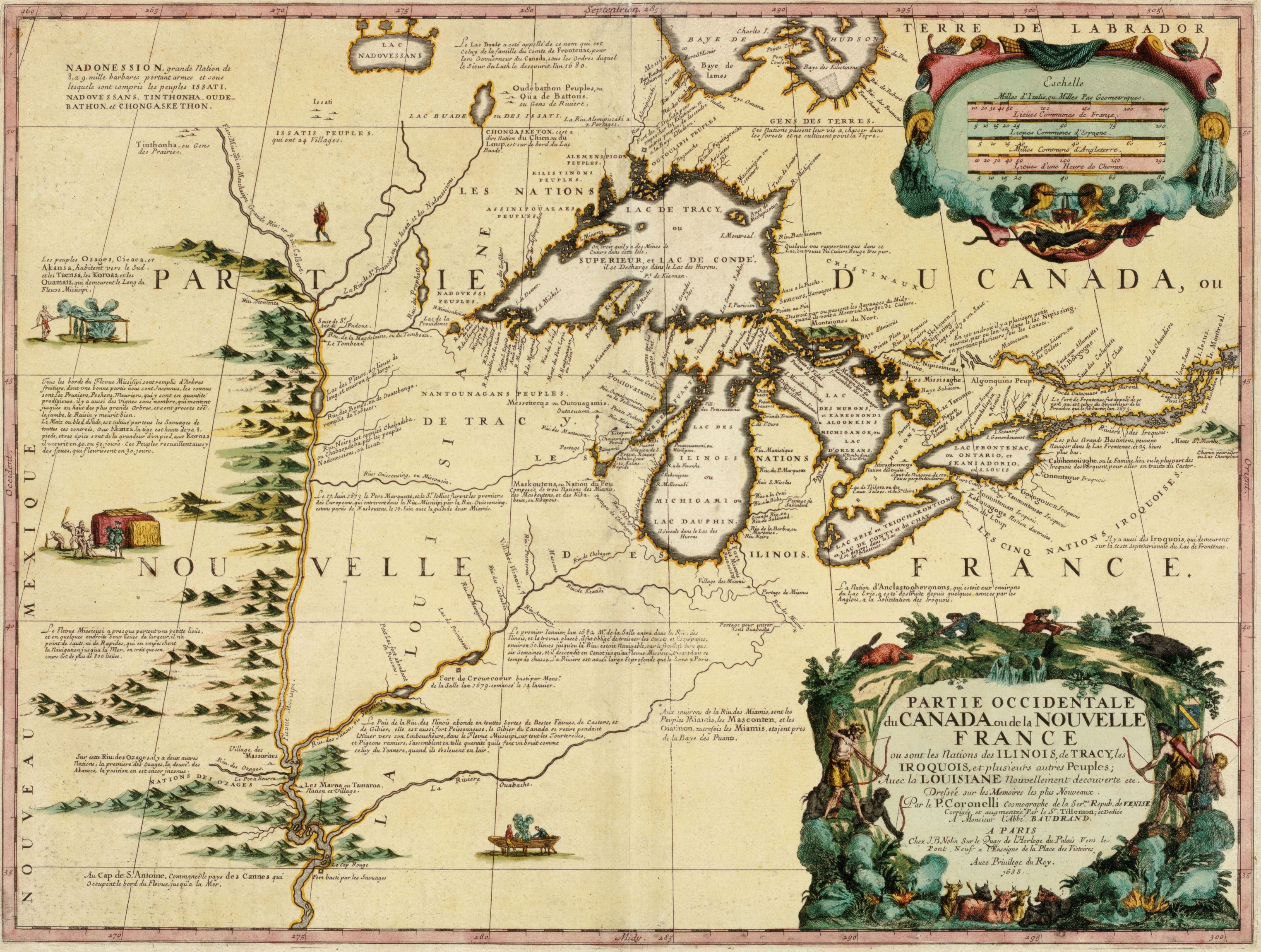
Coronelli map, 1688 (portion) |
|
Vincenzo Coronelli, an Italian friar in the Minorite Order of Franciscans, was commissioned to construct a huge globe for Louis XIV. His sojourn in Paris 1681-3 brought him into contact with cartographic material from New France, in particular the manuscripts of J.-B. Franquelin, then chief hydrographer at Québec, and La Salle. Coronelli's map of the Great Lakes, probably compiled in 1684-5 and published in 1688, was the first printed map of Canada to incorporate information from the explorations of Allouez, La Salle, Hennepin, and Jolliet. |
|
Original map: L'Amerique Septentrionale ou la partie septentrionale des Indes
Occidentales, ca. 1688 par Vincenzo Coronelli Source: Library and Archives Canada/NMC 8474 |
|