|
 |
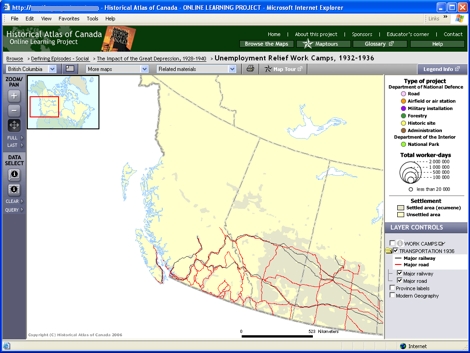
Try This:
- Under LAYER CONTROLS, turn on
the checkbox for "Work Camps," and click on the
 icon following to turn on work camp labels.
-
Use the Zoom in tool to zoom in on Southern BC,
by clicking twice in succession.
|
|
 |
Notice ...
- The majority of BC work camps were for road construction.
- Airfield construction was close to the American border.
- The number of places named increases with each magnification.
|
|
 |
Consider!
- Good transportation facilities were scarce in British Columbia’s
mountainous terrain, and expensive to build.
- Canada in the 1930s was moving from the railway age into the automobile age.
- There was a national defense aspect to airfield construction.
|