|
|
||||||
 |
|
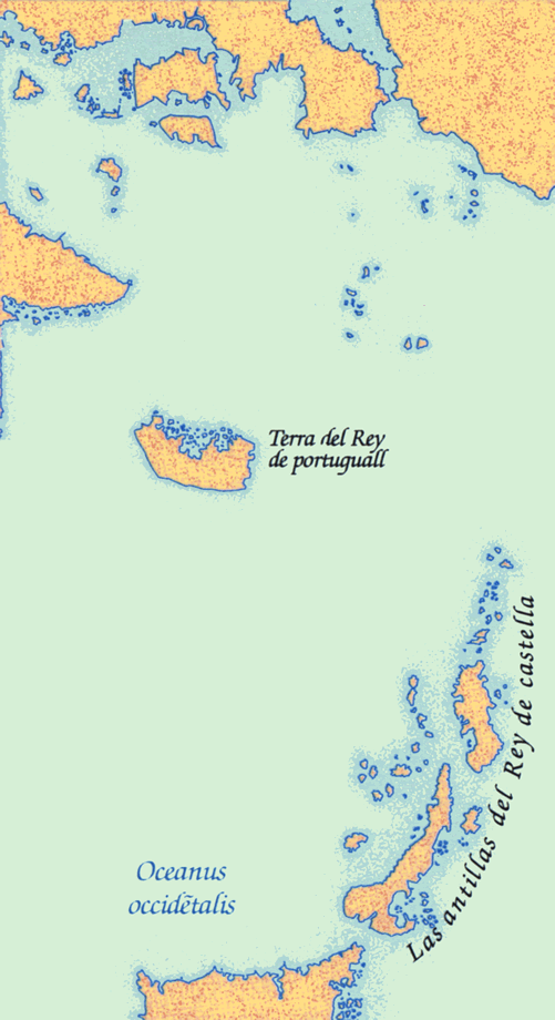
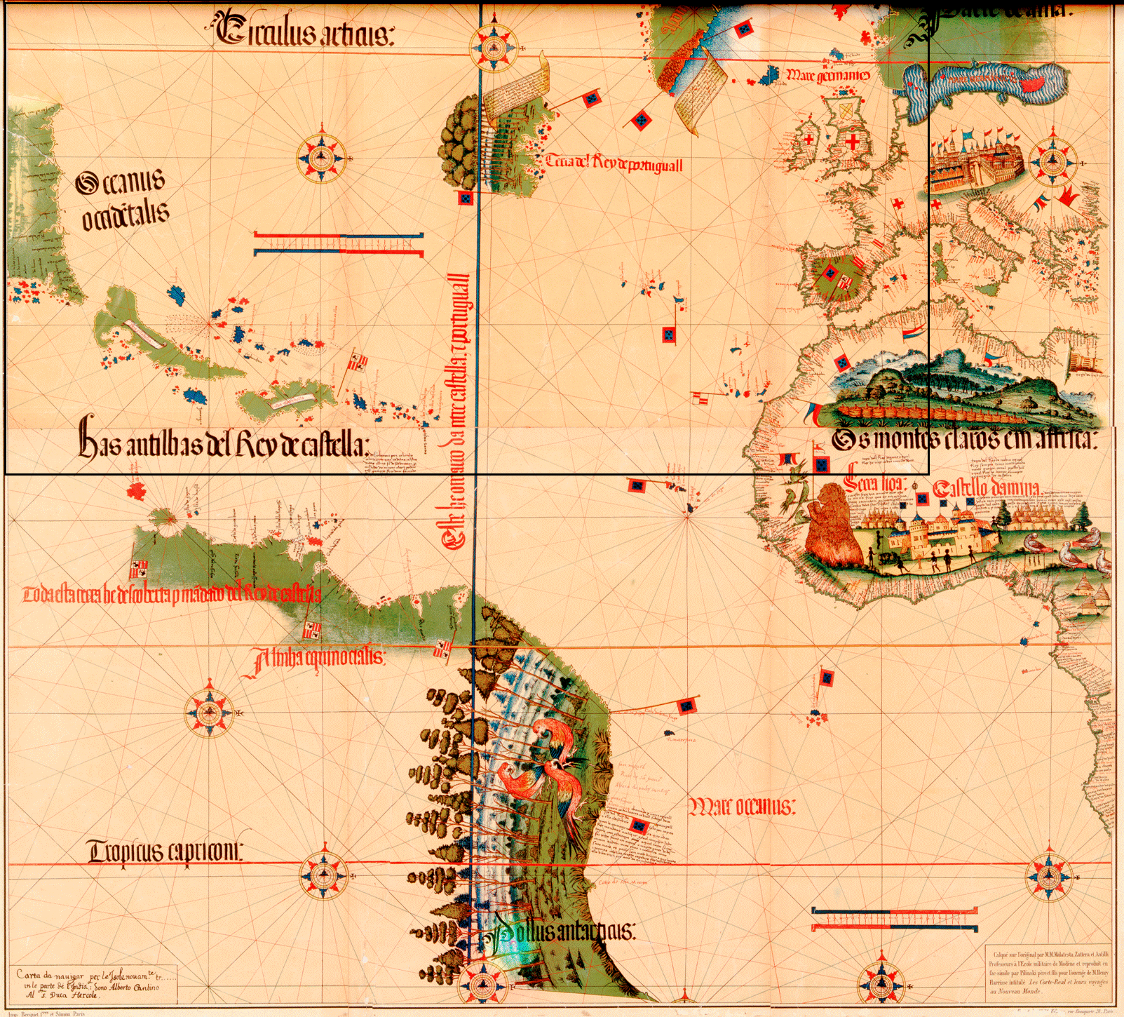
Cantino map, 1502 (portion) |
|
An anonymous Portuguese map of the world, obtained by Alberto Cantino, agent for the Duke of Ferrara, depicts the land discovered by Cabot and the Corte Real brothers as an island far south and west of Greenland. Most of the Caribbean islands were fairly well known. |
|
Original map: The "Cantino Chart", ca. 1502 by Alberto Cantino Source: Library and Archives Canada/NMC 17391 |
|