|
|
||||||
 |
|
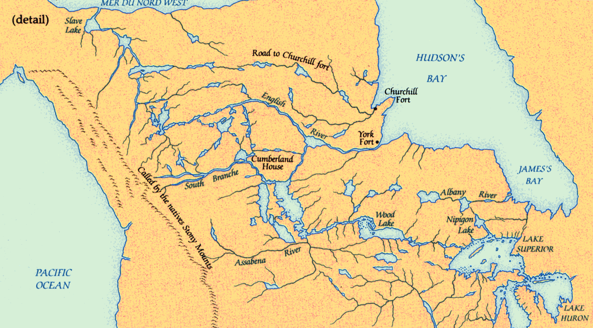
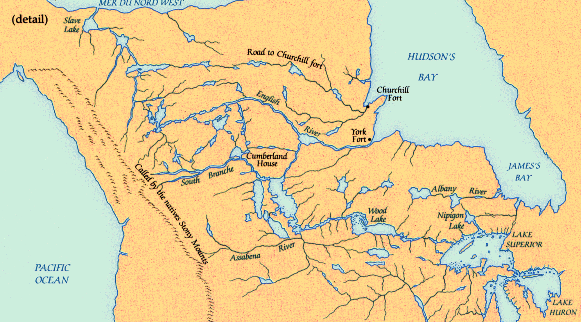
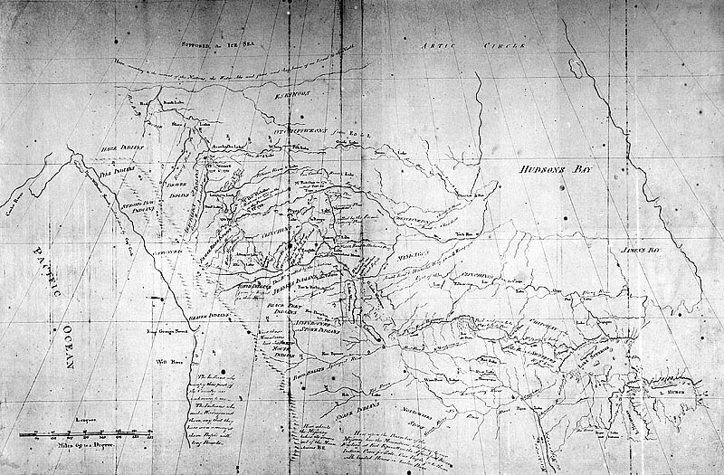
Pond map, 1785 |
|
Never concerned overmuch with measurement, Peter Pond frequently mapped conjecture and almost invariably distorted longitude. Yet in the 1780s he understood the geography of the far northwest better than any non-native. His map of 1785 is a remarkable attempt, based on geographical information obtained from Indians, to describe the Mackenzie River system before Europeans explored it. |
|
Original map: Copy of a Map Presented to Congress..., by Peter Pond, 1785
Source: ĀLibrary and Archives Canada/NMC 8433 |
|