|
|
||||||
 |
|
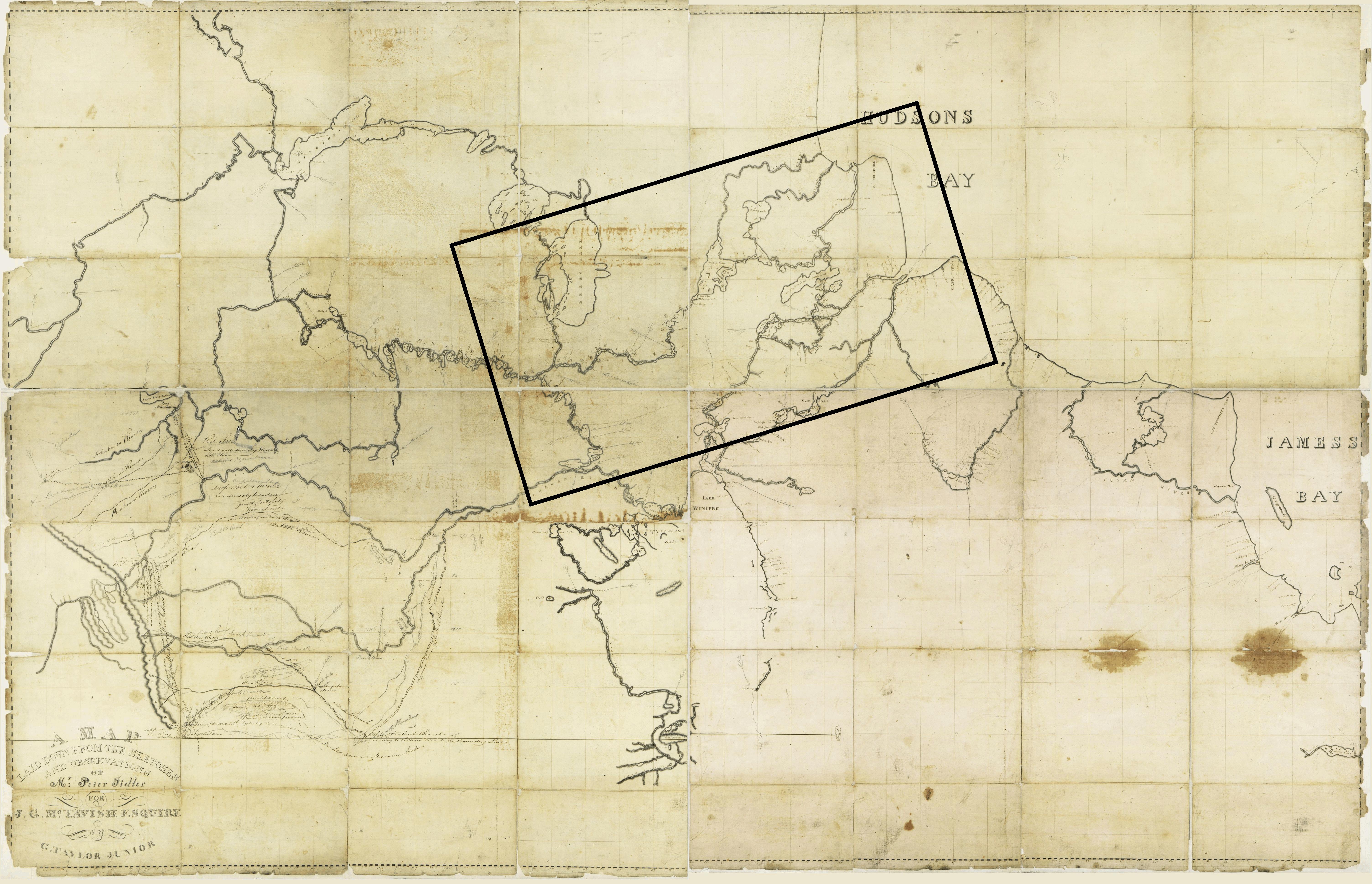
Taylor map, 1830 |
|
Peter Fidler was trained by Turner, as was Thompson, and became a HBC surveyor. Over the next 25 years Fidler made many accurate maps of the major waterways from Hudson Bay to the Rocky Mountains, but never made a composite map. After his death in 1821, a company servant, George Taylor Jr, used some of Fidler's maps to compile this map of the territory from Reindeer Lake east through the Churchill and Nelson river systems. |
|
Original map: A Map laid down from the sketches and observations of Mr. Peter Fidler for J. G. McTavish Esquire.
Source: Library and Archives Canada/NMC 21354Ā |
|