|
Try This:
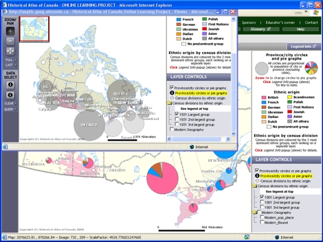
- On the ZOOM/PAN toolbar, click on “FULL.”
- Click on the drop-down menu “More Maps” and under the subheading
“Pop-Up Comparison Maps,” select “Ethnic Origin 1931.”
(This opens a smaller map window for 1931 - you may have to
drag it aside to see the 1901 and 1931 maps at the same time.)
- Compare these two maps to see the change in population numbers
and locales over these 30 years.
- Click on the drop-down menu “More Maps” and select “Ethnic Origin 1961.”
- Now compare the 1931 and 1961 maps for a comparative
picture of change over 30 years.
|