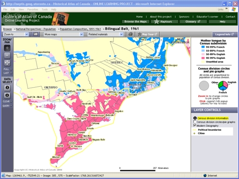
Maptour Page 7
Maptour: Population Composition, 1891-1961
Bilingualism


Click to enlarge

Map: The Bilingual Belt, 1961

Try This:

  • On the Browse topbar, click on “Population Composition, 1891-1961” to return to the chapter page. Then open the map “The Bilingual Belt, 1961.”
  • Under LAYER CONTROLS, turn on the checkbox for "Modern Geography."
  • Use the Zoom-in tool to zoom in to Southern Ontario and Québec, including the area from Sault Ste. Marie and Kapuskasing to Québec City.

Notice ...

  • The pattern of mother tongue corresponds closely with the pattern of ethnicity. (See Maptour pages 4 and 6.)
  • Zones extending eastward from Kapuskasing and Sault Ste. Marie, through the Ottawa River valley and on eastward to Sherbrooke, mark the transition between French and English.
  • This “bilingual belt” is fuzzy, although the political boundary between Québec and Ontario is sharp.

Consider!

  • This map tells us nothing about where individuals proficient in both French and English languages lived.
  • Northern Ontario and the Ottawa River valley are the parts of eastern Canada where one is likely to find both French and English in common use at the same time.
  • Canada recognizes only English and French to be "official languages," despite the dozens of other languages also spoken throughout the country.