|
|
||||||
 |
|
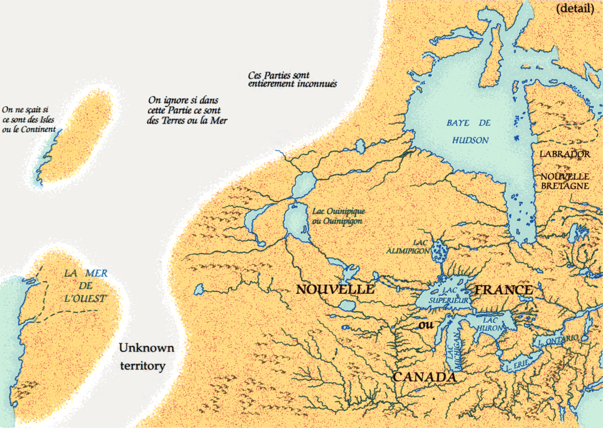
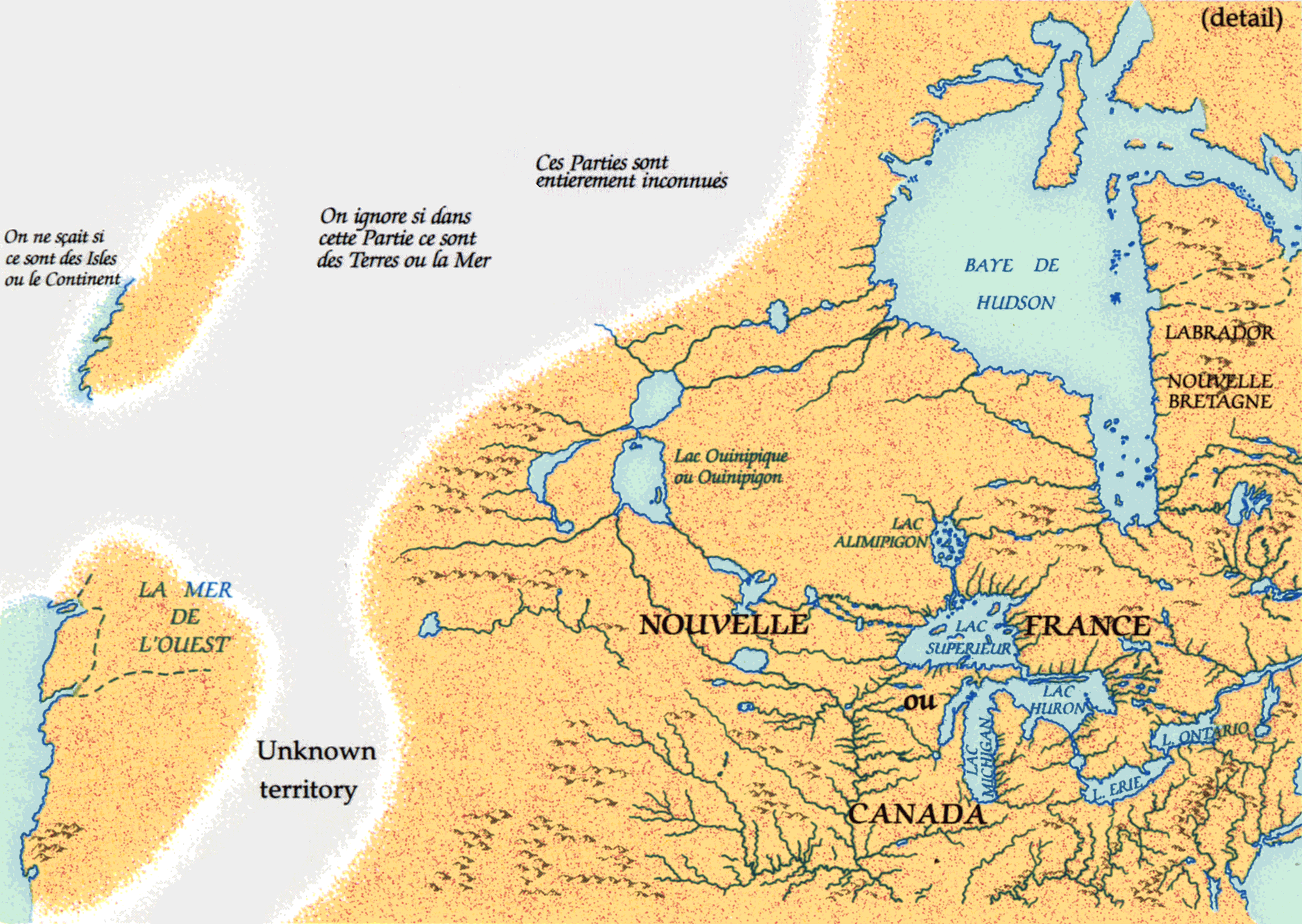
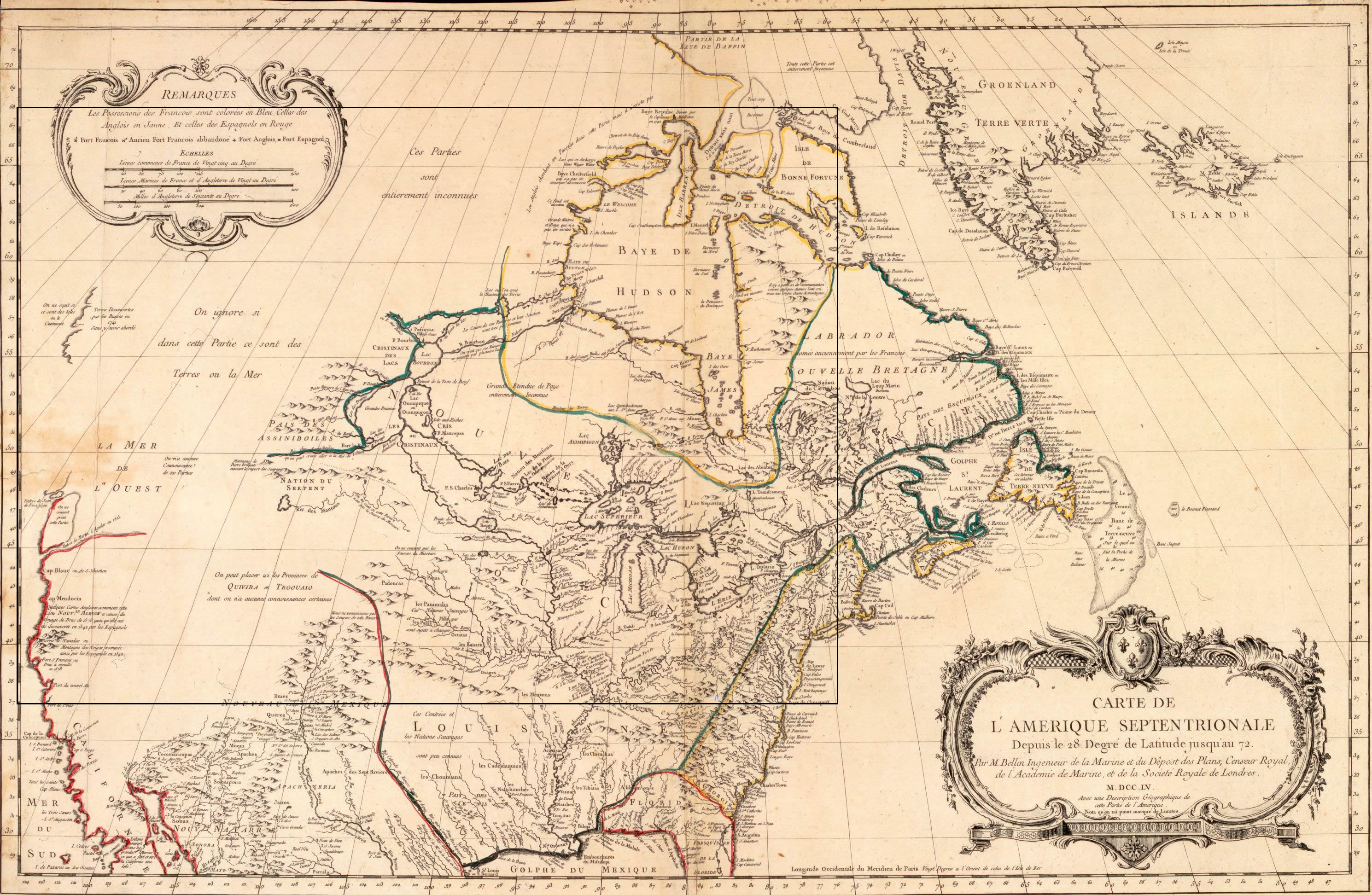
Bellin map, 1755 |
|
When he made this map, Jacques-Nicolas Bellin was chief engineer of the cartographic section of the Ministére de la Marine, the depository for journals and maps from New France. Bellin used this material to good advantage and, beginning in 1743, produced a series of maps of New France that incorporated the latest available information about the North American interior. His map of 1755, the last original map in this set, includes data from La Vérendrye (1750), Bonnécamps (1749), Chaussegros de Léry and La Ronde (1735), and Father Laure (1731-3). |
|
Original map: Carte de l'Amerique septentrionale, ca. 1755 by
Jacques-Nicolas Bellin Source: Library and Archives Canada/NMC 20157 |
|