|
|
||||||
 |
|
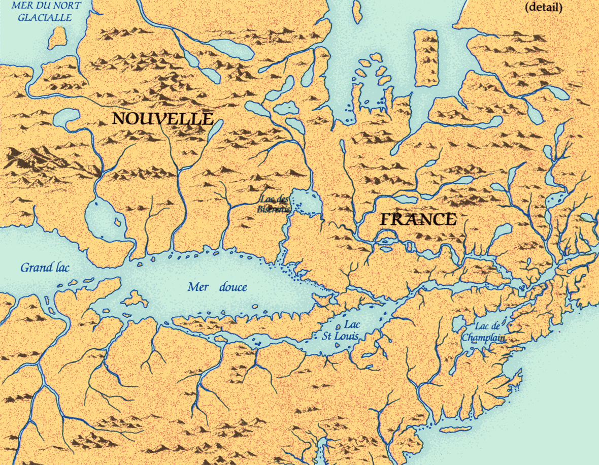
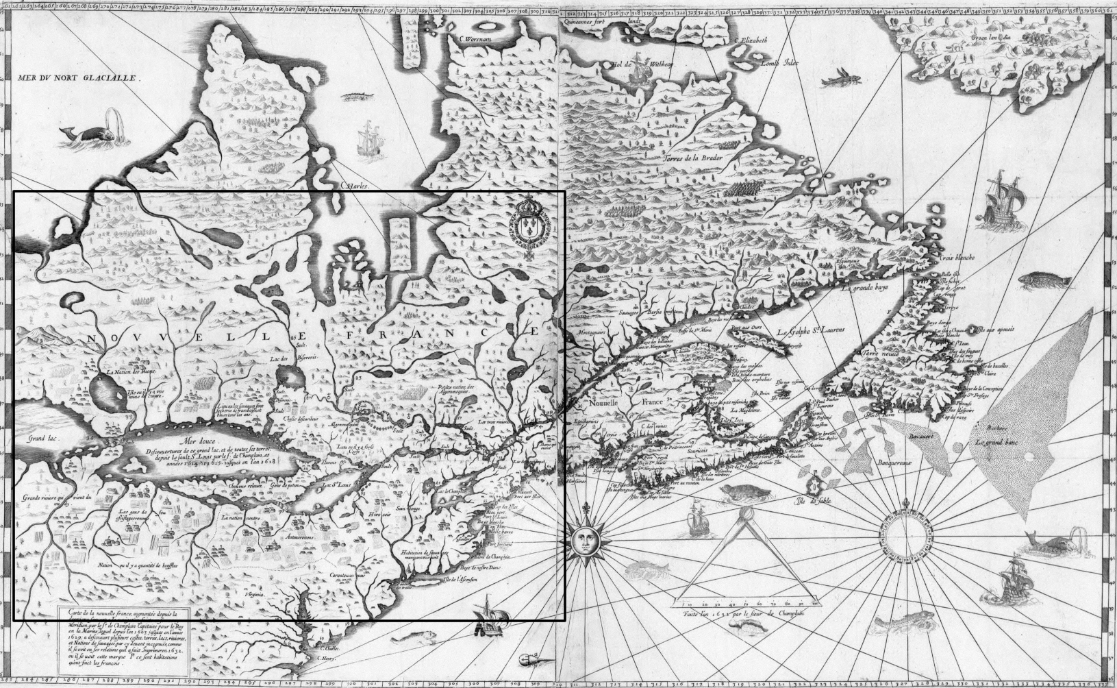
Champlain map, 1632 |
|
Samuel de Champlain's maps and journals initiated a new standard of geographical reporting. Champlain was a trained geographer; beyond his own observations he relied on native accounts and maps of areas he had not visited, the first European explorer to do so. This map of 1632, his last, was an attempt to reconcile personal observations, native accounts, and fragments of information supplied by other Europeans in a comprehensive view of the Great Lakes. West of 'Mer douce' (Georgian Bay) he blended Ottawa accounts of Lake Michigan and Brûlé's account of Lake Superior into one 'Grand Lac'. |
|
Original map: Carte de la nouvelle france, augmentée depuis la dernier,
servant a la navigation faicte enfon vray Meridien, par le Sr. de Champlain
Capitaine pour le Roy en la marine; lequel depuis l'an 1603 jusques en
l'annee 1629; a de couvert plifieurs, ca.1632 par Samuel de Champlain Source: Library and Archives Canada/NMC 51970 |
|