|
|
||||||
 |
|
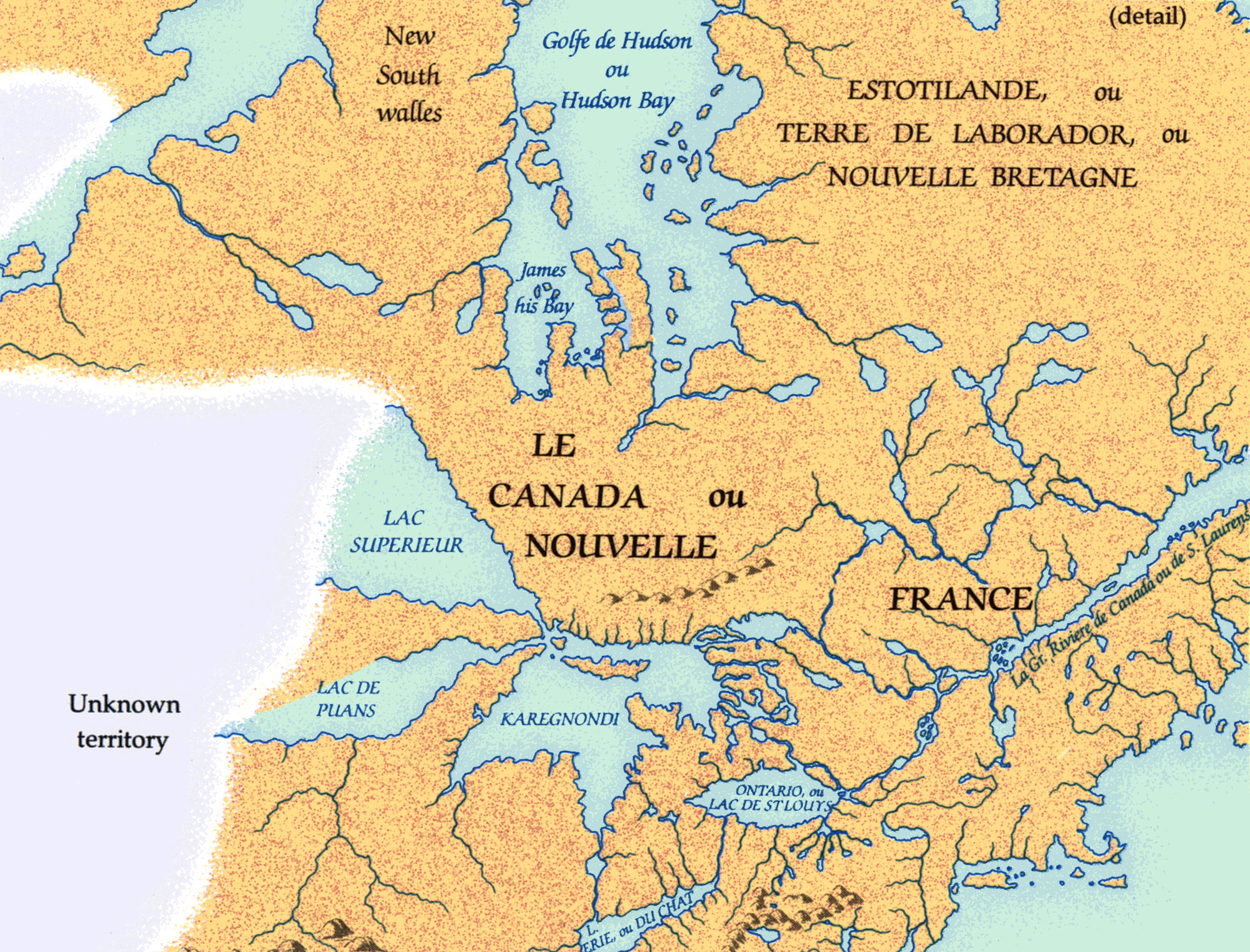
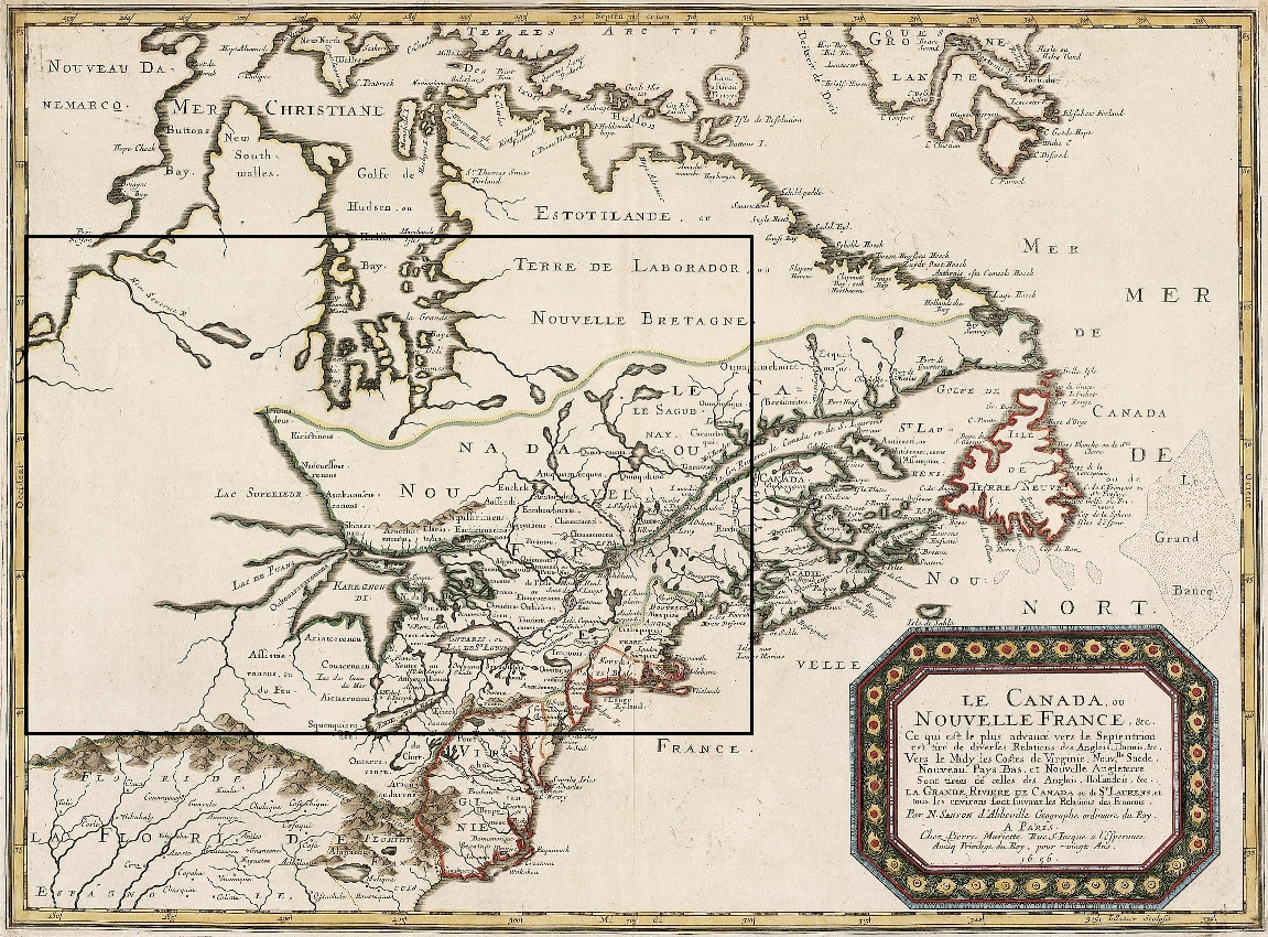
Sanson map, 1656 |
|
Nicolas Sanson, founder of the great French school of cartography, was appointed Géographe ordinaire du Roi in 1630 and had access to the latest geographical information from New France. His maps of 1650 and 1656 are the first to show portions of all the Great Lakes more or less in their true positions. Sanson relied on the Jesuits, whose understanding of the Great Lakes basin derived from their own observations, native accounts, and informants such as Brűlé and Nicollet. |
|
Original map: Le Canada, ou Nouvelle France, & c., ca. 1656, par Nicholas
Sanson d'Abbeville Source: Library and Archives Canada/NMC 21100 |
|