|
|
||||||
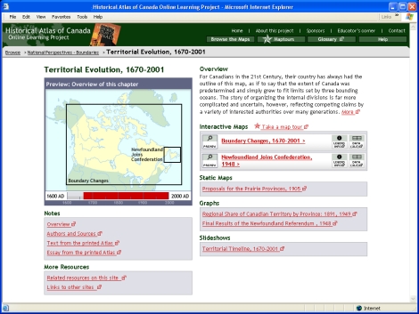
The Boundaries of Canada, 1670-2001For Canadians in the 21st Century, their country has always had the outline of this map, as if to say that the extent of Canada was predetermined and simply grew to fit limits set by three bounding oceans. The story of organizing the internal divisions is far more complicated and uncertain, however, reflecting competing claims by a variety of interested authorities over many generations. |
| To start this Maptour, navigate to the chapter page for:
|