|
|
||||||
 |
|
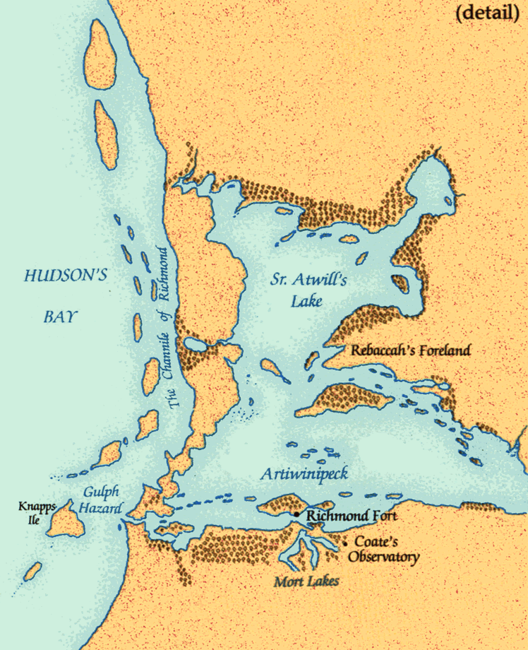
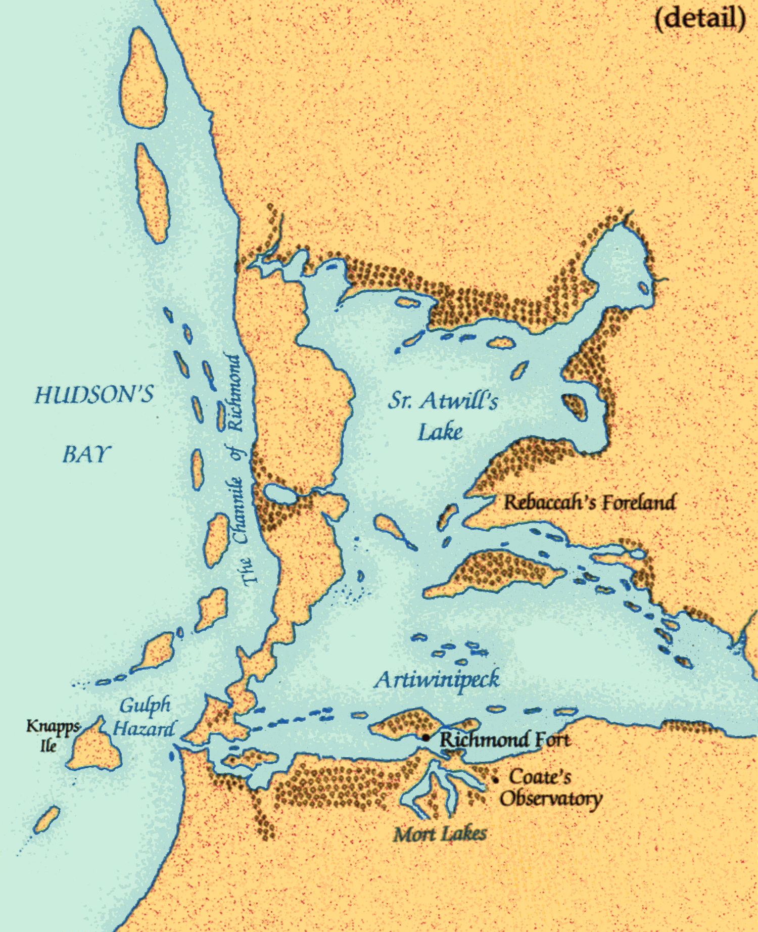
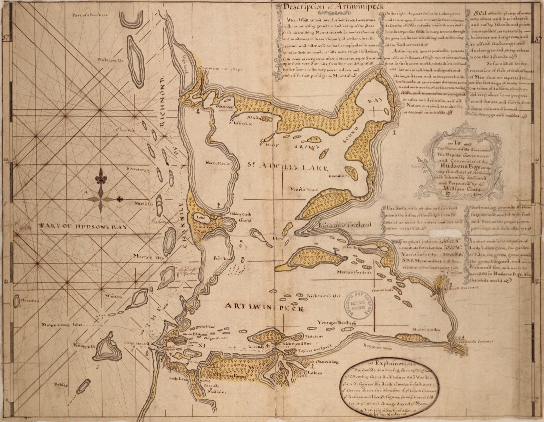
Coats map, 1749 |
|
The HBC commissioned William Coats, master of a company ship, to explore and chart the Eastmain south of Cape Wolstenholme and identify a suitable harbour for a trading post. He chose Richmond Gulf and prepared several fine maps of this intricate, almost land-locked bay as well as a more general map of the Eastmain. Other masters of company ships also contributed to the increasingly precise cartography of the Eastmain. |
|
Original map courtesy of Hudson's Bay Company Archives, Archives of
Manitoba. HBCA G.1/18 |
|