|
|
||||||
 |
|
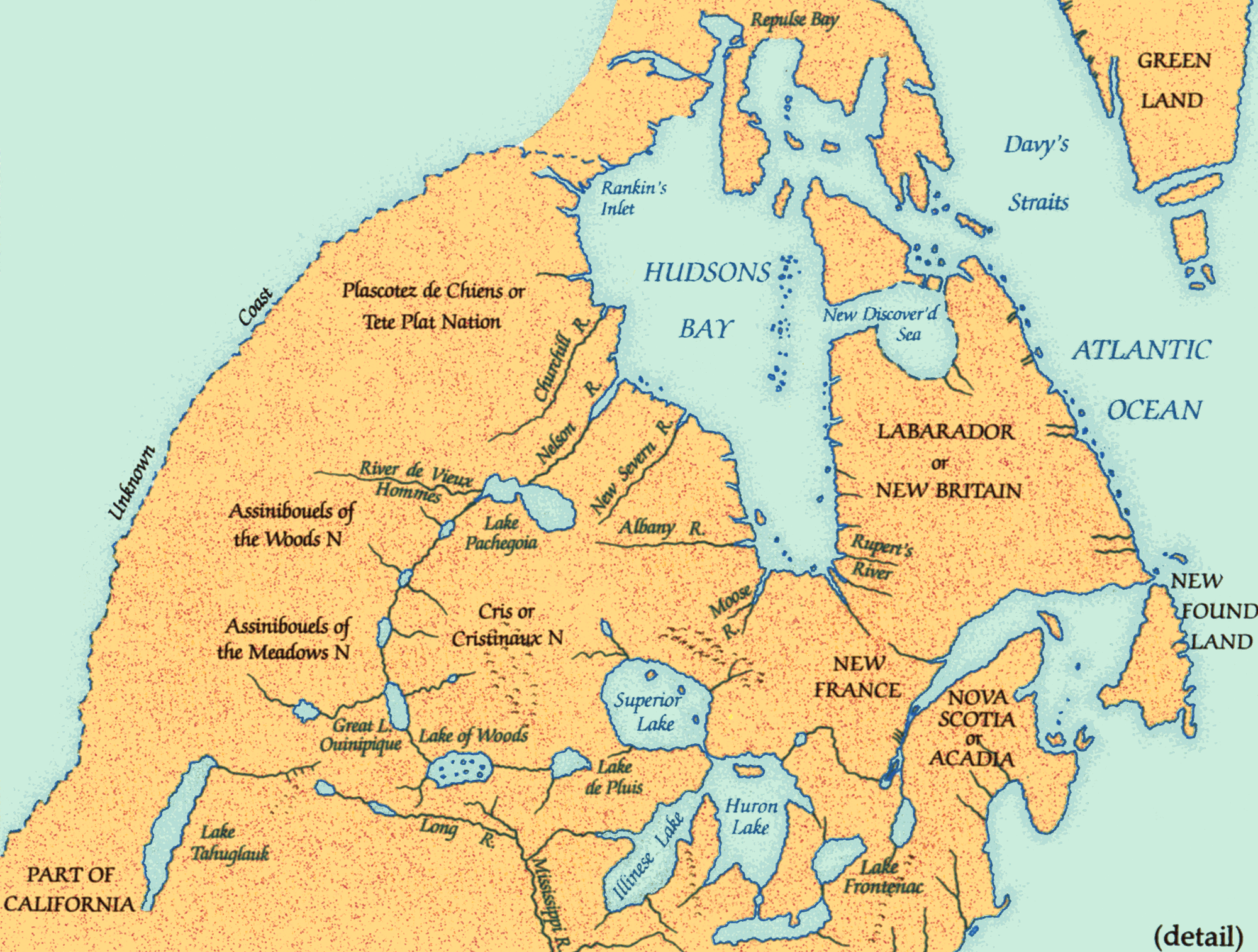
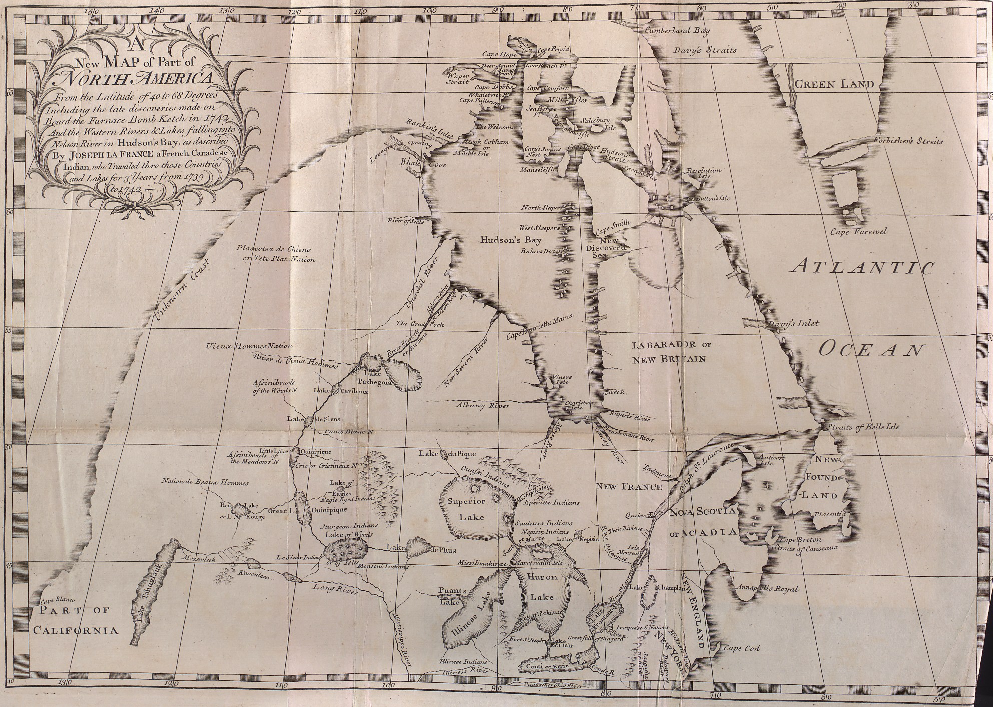
Dobbs map, 1744 |
|
Arthur Dobbs prepared this map for his book opposing the trading monopoly of the HBC. He castigated the company for not exploring more aggressively, affirmed that a water passage would be found from Hudson Bay to the Pacific, and identified a hypothetical sea in northern Quťbec, a route from the Atlantic to Hudson Bay. Dobbs was right in one sense: there was little precise knowledge of the northern continent. |
|
Original map courtesy of Toronto Public Library (TRL), Arthur Dobbs. An account of the countries adjoining to Hudsonís Bay, in the north-west part of America.... London, 1744.
|
|